Images of the World
Maps, Globes, and Atlases
April 5, 2005 – July 17, 2005
The University of Texas at Austin's Harry Ransom Humanities Research Center presents "Images of the World: Maps, Globes, and Atlases," an exhibition of holdings from the Center's cartography collections.
The exhibition showcases more than 35 items, including the medieval foundations of maps, city plans, military maps, maps of the New World and admiralty charts. The curator of the show is Professor David Buisseret of The University of Texas at Arlington, a specialist in early cartography.
The strength of the Center's cartography collection lies in maps, atlases and globes produced during the 16th and 17th centuries. Most items in the show come from the Kraus map collection purchased by the Center in 1969.
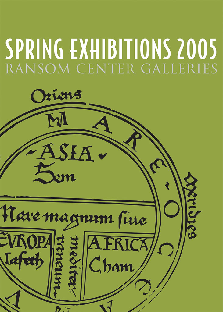
"Visitors can see the remarkable foundations of modern cartography, from medieval maps that show the known world divided into three land parts split by the Mediterranean Sea to an enormous maritime atlas from the late 18th century," said Richard Oram, the Ransom Center's associate director and Hobby Foundation Librarian.
In 1570 Abraham Ortelius changed the way of portraying the world by producing an atlas (as it soon came to be called) of 70 maps in a uniform format. On view is Ortelius's "Theatrum Orbis Terrarum," considered to be the first modern atlas, as well as letters to him from prominent cartographers. Before Ortelius, individual maps were gathered together by collectors to form made to order "Lafreri" atlases, named after one of the leading map publishers of the period. One of these rare atlases is included in the show.
Also on view are a pair of large terrestrial and celestial globes produced in 1688 by the Italian master Vincenzo Coronelli, the only set of these rare and majestic globes in the United States. A Franciscan friar, Coronelli was known for his construction of elegant globes that incorporated the latest geographical knowledge.
The exhibition also features a Native America manuscript map of Virginia (1610) that shows the rivers and coast in outline. Drawn by a member of one of the local tribes, the map contains more than 70 semi-circles representing Native American villages. Only a handful of such maps survive.
Other cartographic treasures in the show include a plan of Rome (1557) and Milan (1638), a 1541 globe by Gerardus Mercator (one of only two in the United States) and Pascal Ponce's map of Peru and Brazil (1761).